
Grid InQuest II
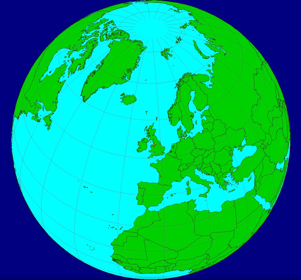
In 2015 Land & Property Services Northern Ireland and the Ordnance Surveys of Ireland and Great Britain published a new regional geoid, OSGM15. It improved vertical accuracy across the islands and, in Great Britain, the companion OSTN15 model improved horizontal accuracy as well.
The new models are the public definition of the transform between global and national coordinates. The previous geoid, OSGM02, had shipped with a Windows program called Grid InQuest. The consortium wanted a successor with the same job and a wider reach, and commissioned Michell Computing to write it.
What it has to do
The specification asked for accurate transforms between ETRS89 (cartesian and geodetic), the Irish Grid, Irish Transverse Mercator, the British National Grid, and UTM zones 29, 30 and 31 over the extent of the geoid. The software had to be platform-agnostic, run at least on Windows 7 and later and on macOS, install without needing the internet, and be released as open source.
The interface, file handling and batch behaviour were to match the original Grid InQuest closely enough that existing users would recognise it. The name Grid InQuest II followed from that.
How it was built
Those constraints — native binaries, several operating systems, no proprietary runtime, open source — pointed at Free Pascal. Linux was added beyond the written minimum, with separate 32-bit and 64-bit builds for Windows and Linux. Lazarus and the LCL gave each desktop a native look from one code base. Git held the history; Bitbucket still holds the source and the binary releases.
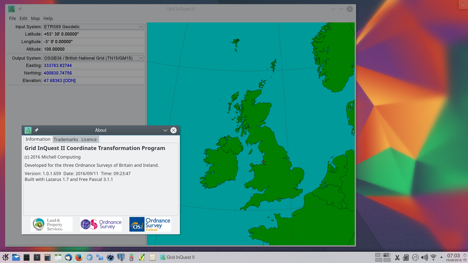
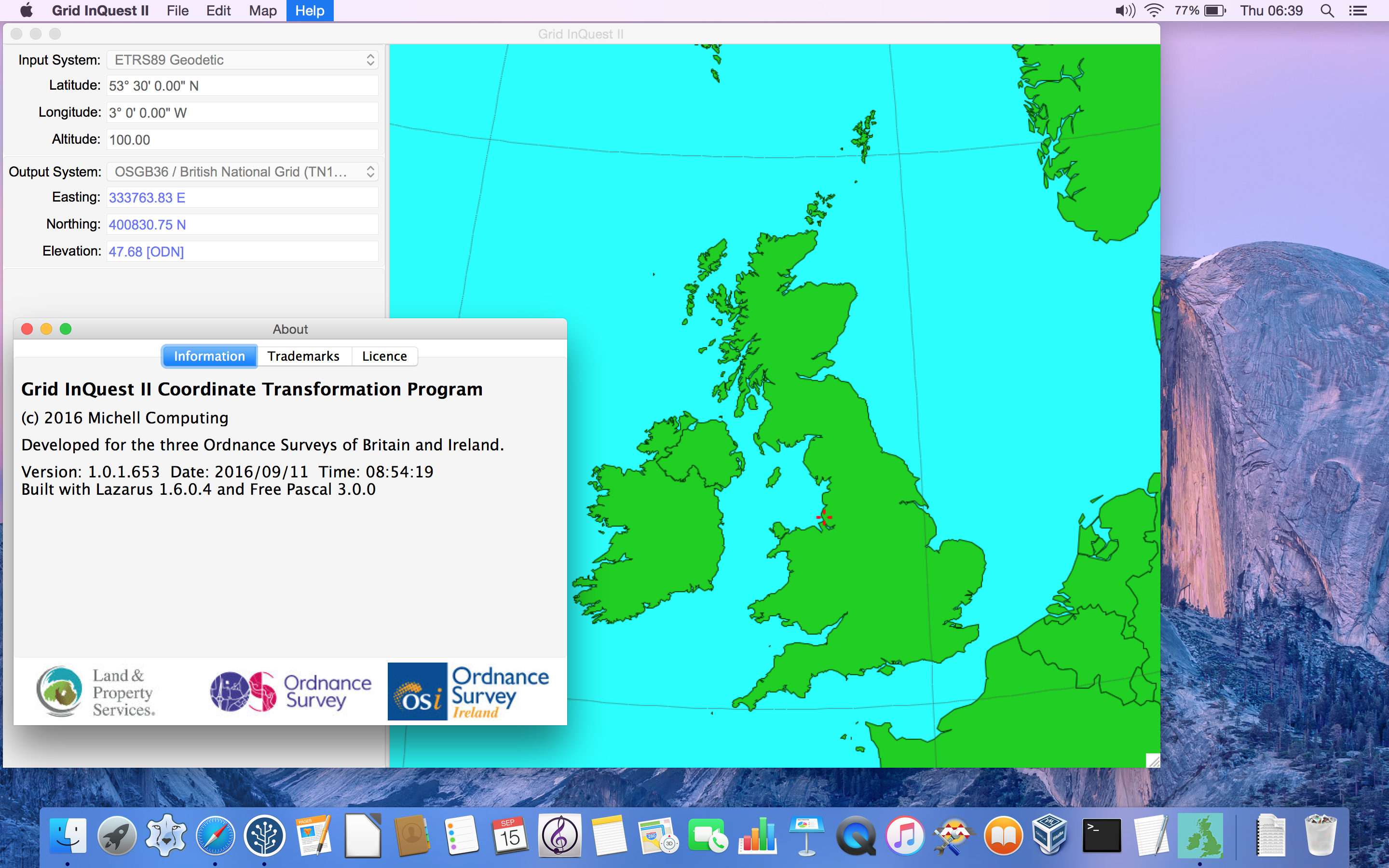
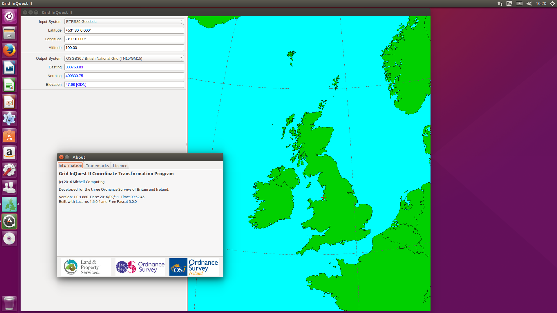
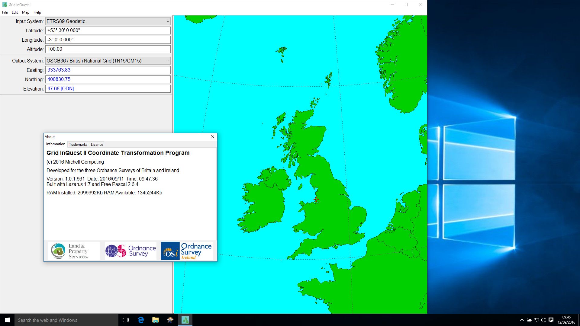
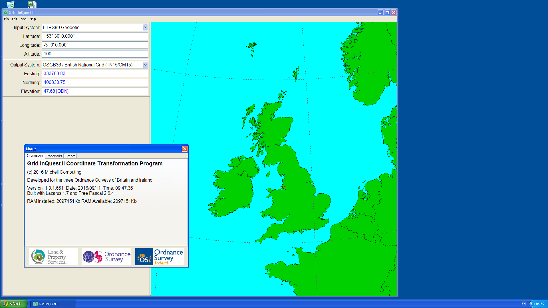
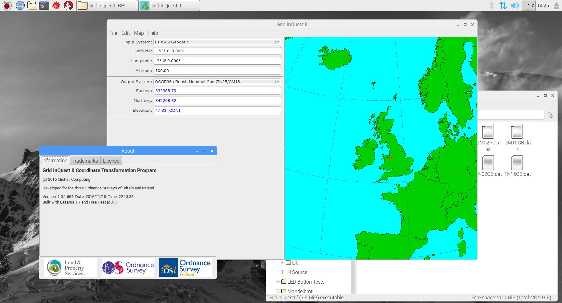
An ARM trial build on a Raspberry Pi 2 under the Pixel desktop confirmed that the same source would compile for small machines. Official downloads are published by Ordnance Survey.
FME
The same transformation library was later wrapped as a Safe Software FME transformer, the Grid InQuest II Point Reprojector, so the models can be applied inside an FME workbench rather than only from the desktop program.